Remote sensing
In general, remote sensing data acquired by measuring electromagnetic waves on satellites and elsewhere is analyzed in the early exploration stage of mineral resources and geothermal resources exploration. The information possessed by the remote sensing data is useful, especially in surveys of remote areas. High resolution, advanced remote sensing data recently became available. We analyze them through band calculation, spectral analysis and statistical analysis using PCs, and interpret geology and geological structures and identify minerals. Basically, we can analyze commercial satellite and aircraft data, and can serve analytical figures and interpretation maps according to purpose.
In the field of seabed mineral resource surveys, we analyze acoustic survey data and videos of ocean floor observation acquired by survey vessels and underwater vehicles. These analysis results are important parameters for resource quantity evaluation.

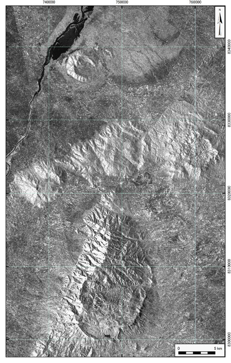
Synthetic Aperture Radar Data (PALSAR L1.5 HH single polarimetric image) showing syenite intrusive bodies in the south of Malawi.

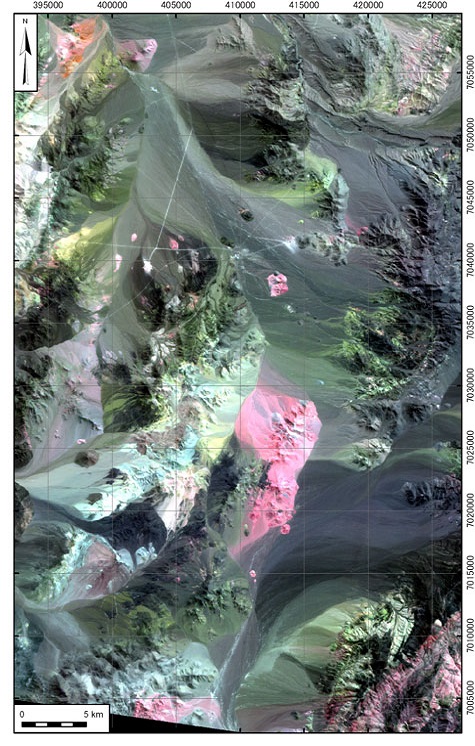
Optical sensor data (ASTER L3A false color image) in a Cu-Au mineralization area in Chile.
Inquiry ・ Order
Sumiko Resources Exploration & Development Co., Ltd
Resources & environment Department
Address: 33 Mori Bldg. (5F), 8-21 Toranomon 3-chome,
Minato-ku, Tokyo, 105-0001, Japan
TEL:+81-3-5405-2172 /
FAX:+81-3-5405-2175

